Now live
MicSer, HVSR site characterisation in your browser.
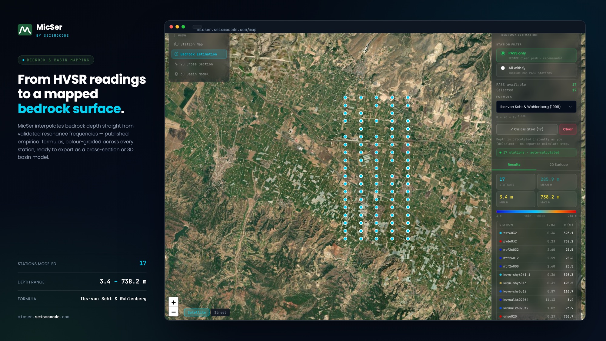
The dedicated single-station HVSR application: upload microtremor records, resolve the fundamental frequency, validate against the SESAME criteria and export a site-characterisation report, with no desktop software and nothing to install.
Part of SC GeoMic · one module of the SCOUT platform.
Open MicSer
micser.seismocode.com
Used for
Geotechnical site characterisation
MicSer resolves Vs profile, Vs30 and fundamental site frequency from ambient noise — informing foundation design and ground-response assessment.
Explore Geotechnical →