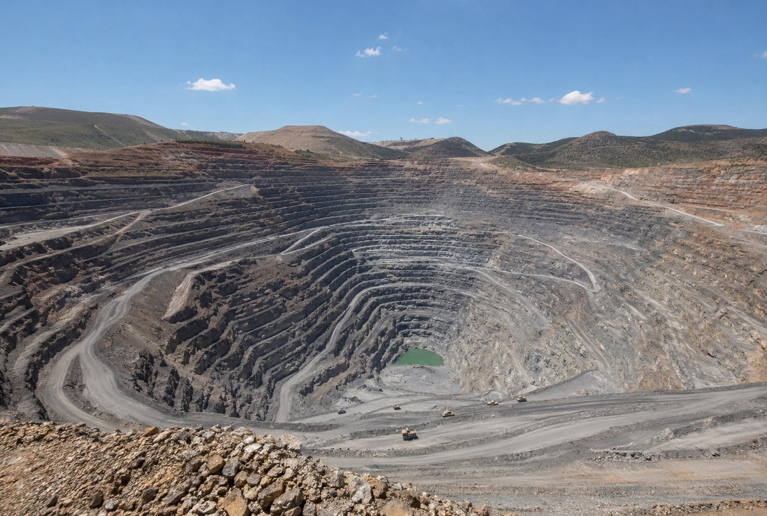
Mining
Mining
Continuous monitoring of tailings storage facilities, open-pit slopes and waste dumps. No active source, no shutdown.
Explore Mining →Non-invasive subsurface imaging and continuous monitoring powered by passive seismic data and AI.
One platform · four modules
The same passive seismic engine, tuned to the questions each industry needs answered, from continuous risk surveillance to exploration.
Continuous monitoring of tailings storage facilities, open-pit slopes and waste dumps. No active source, no shutdown.
Explore Mining →Site characterisation and seismic microzonation for infrastructure, ground investigation and earthquake engineering.
Explore Geotechnical →Passive exploration and reservoir characterisation across the licence, without an active source.
Explore Geothermal →SCOPE is the geophysics engine; SCOUT is the cloud platform built on it, with four modules sharing the same data and the same project.
Established passive-seismic geophysics — HVSR, SPAC, joint inversion, ambient noise tomography — unified in one cloud pipeline.
Read about SCOPE →The cloud workspace built on SCOPE: acquisition, processing, inversion, interpretation and reporting in four modules.
Explore SCOUT →HVSR site characterisation in your browser — part of SC GeoMic, live today, nothing to install.
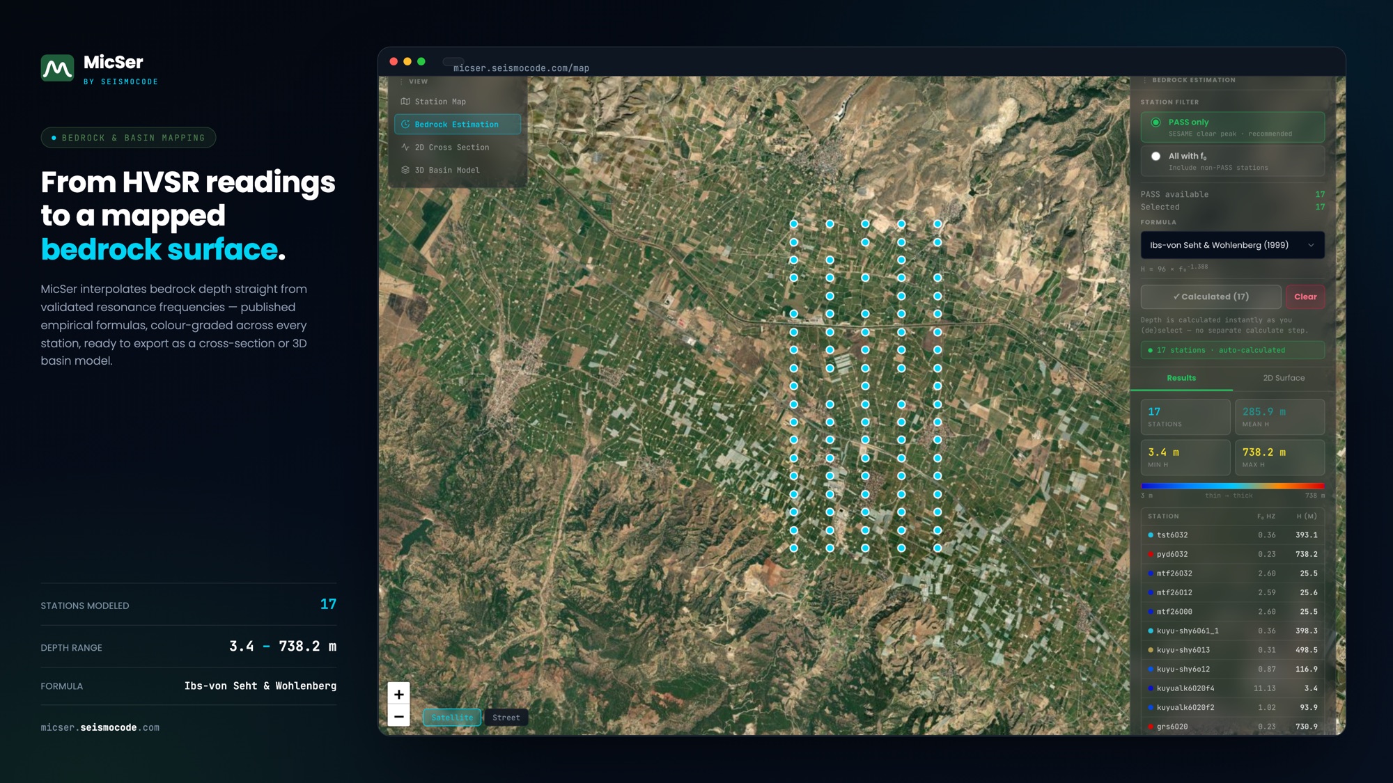
Learn about MicSer →The dedicated single-station HVSR application: upload microtremor records, resolve the fundamental frequency, validate against the SESAME criteria and export a site-characterisation report, with no desktop software and nothing to install.
Part of SC GeoMic · one module of the SCOUT platform.
Founded in Türkiye, incorporated in Canada — supported by TÜBİTAK, Invest Ottawa, Sabancı ARF and ITU Çekirdek. Active across six countries.
Tell us about your site (tailings, slope, geothermal or geotechnical) and we'll show you what continuous subsurface intelligence resolves on a programme like yours.
demo@seismocode.com